Skip to Content
Texian Trail Get the App

Find Texas History on the Road

Texian Trail shows the historical markers around you, opens each one to its full inscription, and lets you check in when you stop.

Free on iPhone and Android. Trail+ is optional.

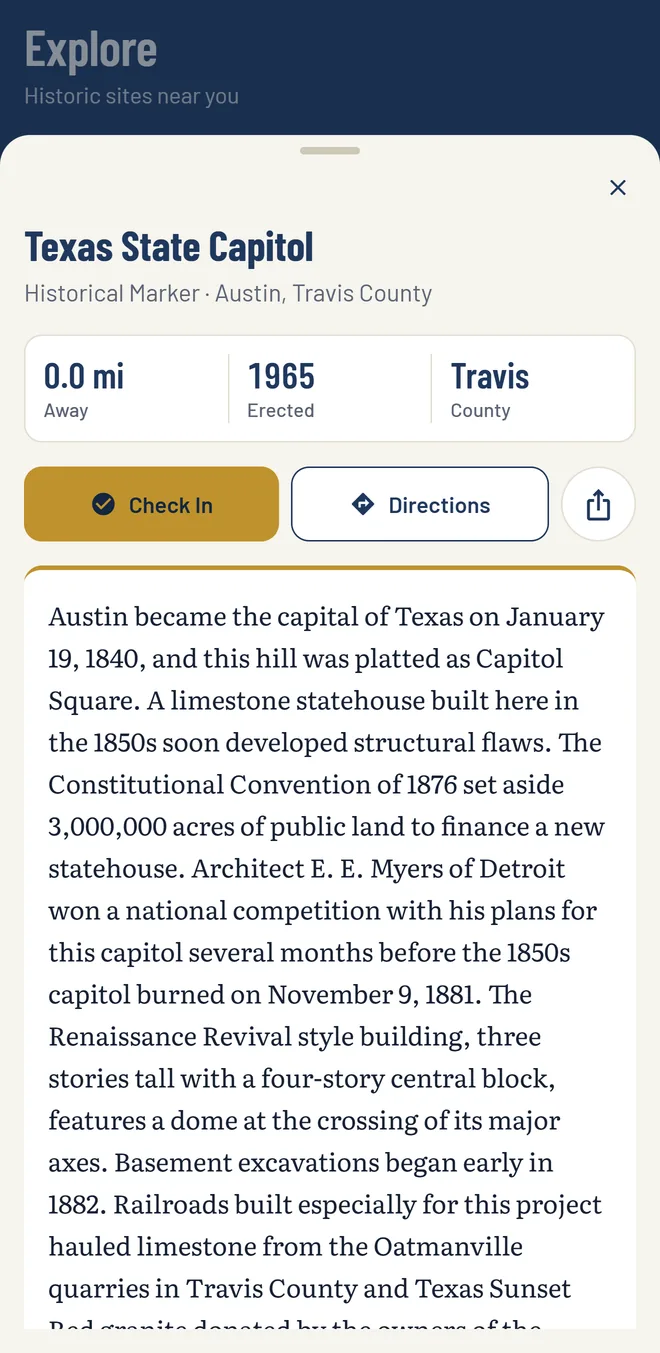
The Texian Trail app showing the Texas State Capitol marker: distance, year erected, county, a Check In button, Directions, and the full inscription.

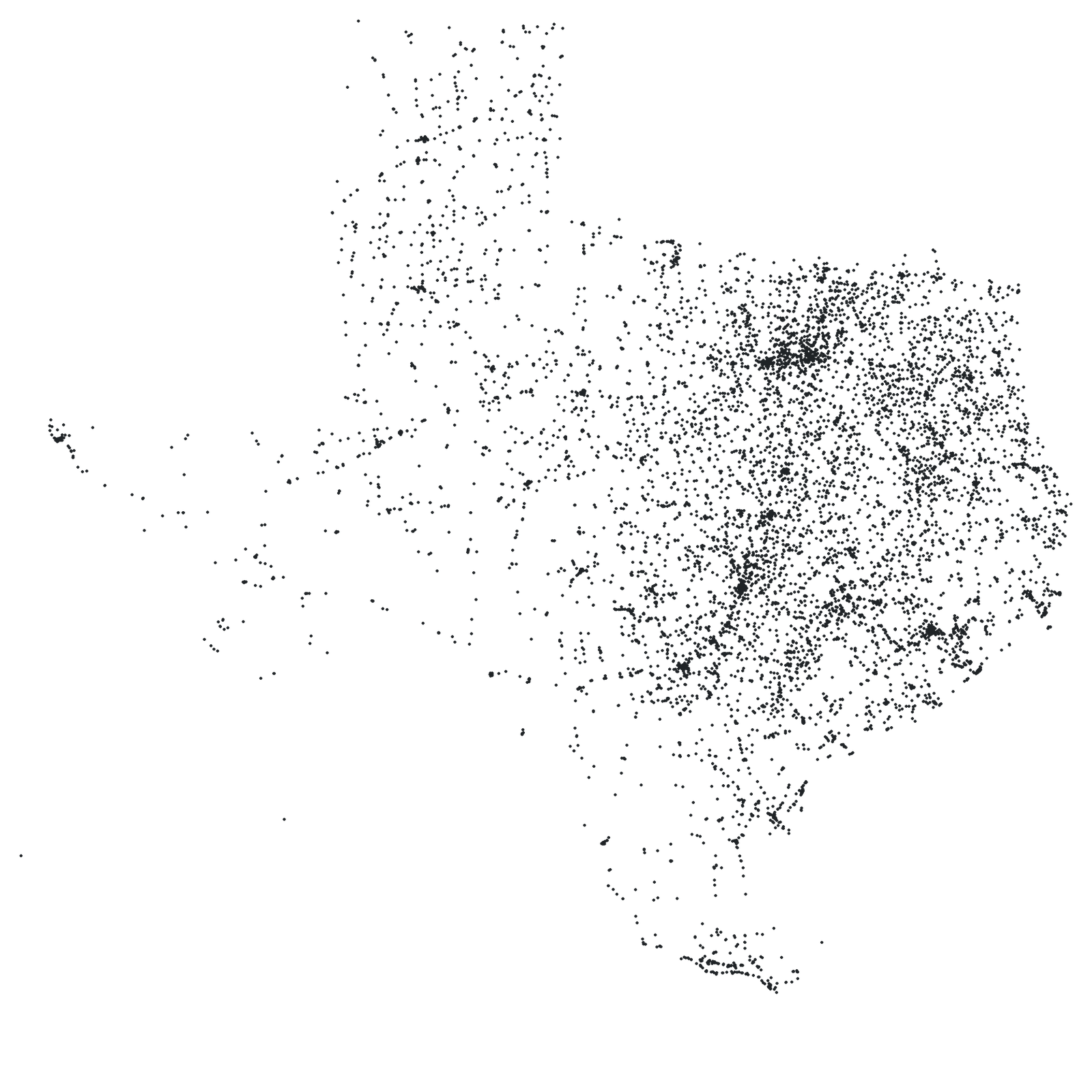
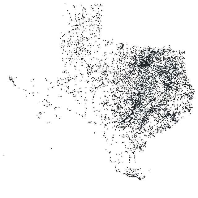
17,366historical markers

254counties, all of them

Built from the Texas Historical Commission's Texas Historic Sites Atlas. Every marker links to its Atlas record. Texian Trail is independent and not affiliated with the Commission.

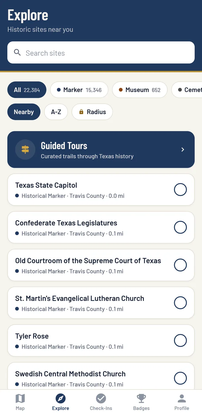
The app's Explore screen: a search box, filters for markers and museums, a Guided Tours link, and the nearest markers listed by distance.

How It Works

  1. Find the Markers Near You

    Open the app and the closest markers are listed by distance. Or pan the map of the whole state and plan the drive.

  2. Read the Inscription

    Each marker opens to its full text, the year it went up, and directions in Apple Maps or Google Maps.

  3. Check In When You Get There

    Stand within about 300 feet (100 meters) of the marker and tap Check In. The app confirms the visit by GPS and adds it to your record.

Guided Tours and Badges

Tours in the App

The app's guided tours put a run of markers in order and track your progress as you check in at each stop. The Texas Revolution Trail tour, 15 stops from Anahuac to San Jacinto, is free. More tours come with Trail+.

Badges for Where You Have Been

Badges mark your first check-in, the counties you cover, your streaks, and more. Every check-in stays on your record, with the date and county.

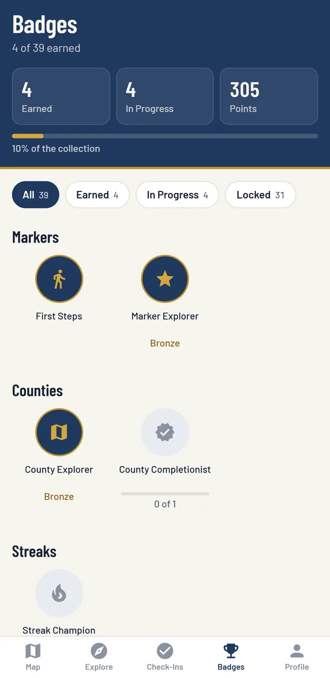
The Badges screen: badges earned and in progress, points, and badges for markers, counties, and streaks.
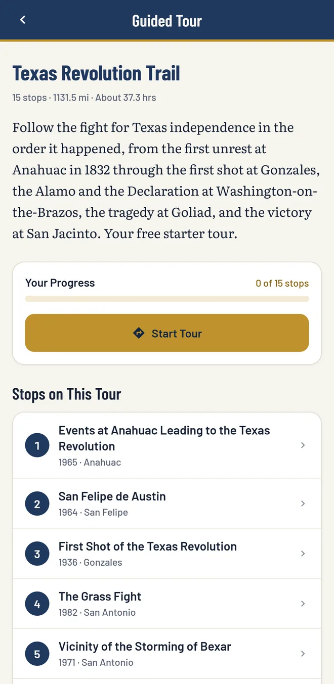
A guided tour in the app: the Texas Revolution Trail, 15 stops, with a progress bar, a Start Tour button, and the numbered stops.

Free to Use. Trail+ for More.

The free app has the whole map, every inscription, directions, and badges. Trail+ removes the daily check-in limit and adds the tools for longer trips.

Trail+ is $2.99 a month or $24.99 a year in the US. You buy it in the app, through your Apple or Google account, and cancel it in your store settings.

What the free app includes and what Trail+ adds
Feature Free $0 Trail+ $2.99/mo
or $24.99/yr
Every marker on the map
Full inscriptions
Directions in Apple Maps or Google Maps
Badges and your check-in record
Check-ins 5 a day Unlimited
Guided tours Texas Revolution Trail Every tour
Search the text of 15,000+ inscriptions
Satellite and hybrid map views
Offline downloads by county
Nearby radius filter
Trail passport and detailed stats

The Marker Guide

Every marker also has a page on this site, free to read in any browser, with its inscription, its place on the map, and the markers nearby.

Six Trails on This Site

All Trails
  1. Texas Revolution Trail The war for independence in the order it happened, from the 1832 unrest at Anahuac to the victory at San Jacinto on April 21, 1836. The route runs through Gonzales, San Antonio, Washington-on-the-Brazos, and Goliad. 14 stops
  2. Heroes of the Texas Revolution Markers for the people who made 1836: Stephen F. Austin, William B. Travis, Juan Seguín, José Antonio Navarro, George Childress, who wrote the Declaration of Independence, and Sam Houston, with the men who fought beside him at San Jacinto. 12 stops
  3. Historic San Antonio The old town and the San Antonio River: the Alamo, San Fernando Cathedral, the Spanish Governor's Palace, La Villita, the Menger Hotel, and the four missions south of downtown. 10 stops
  4. Civil War in Texas The war on the Texas coast and home front: the recapture of Galveston on January 1, 1863, the fight at Sabine Pass that September, the prison camp at Camp Ford near Tyler, and Palmito Ranch, the last battle of the war, in May 1865. 7 stops
  5. Spanish Colonial Texas Missions and presidios from west to east along El Camino Real: Ysleta and Socorro near El Paso, the presidio at San Sabá, San Antonio, Goliad, and the first missions among the Tejas in East Texas. 10 stops
  6. Cattle Trails and Ranching The trail drives and the big ranches: the Chisholm, Western, and Goodnight-Loving trails, Charles Goodnight, the King, XIT, JA, and Matador ranches, and the Fort Worth Stockyards, where the drives met the railroads. 10 stops

Take It on the Road

Texian Trail is free on iPhone and Android. Open it on your next drive and see what happened along the way.

Already have an account? Sign In